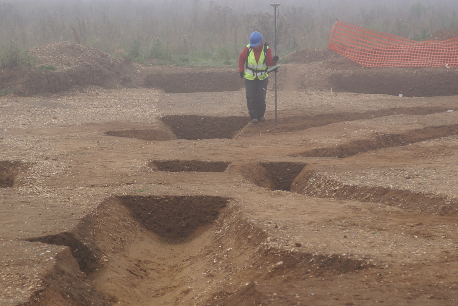
GPS Survey
Our surveying service is designed to provide solutions for archaeological contractors undertaking evaluations and excavations work. These include setting out and pre and post excavation plans.
Working with GPS (RTK) and total station equipment, we provide the accurate site control that keeps excavation records spatially consistent from the first trench to the final report.
Site control and setting out
We establish local site grids and tie them into Ordnance Survey control, giving every trench, feature and find a reliable national grid reference. Site grids, trench locations and sample positions are set out accurately on the ground before work begins.
Where required we can tie into existing survey control provided by the client or main contractor, keeping our records compatible with the wider engineering survey on site.
Pre- and post-excavation plans
During excavation we record the location and extent of trenches, features and structures. Before backfilling we return to capture the site as excavated, producing pre- and post-excavation plans at the scale required by the project.
Plans are supplied as CAD drawings and GIS data (DXF and shapefile formats) ready for incorporation into site reports, archives and publication drawings.
Planning an evaluation or excavation and need survey support? Get in touch to discuss your project.
Contact us