Historic Landscape Survey
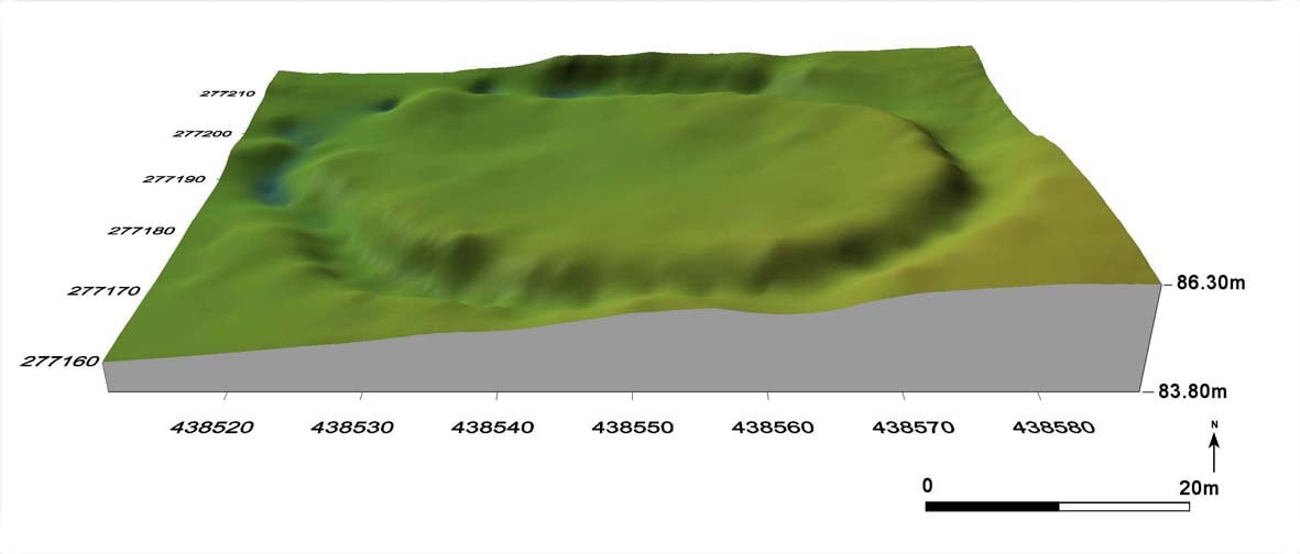
We undertake analytical earthwork surveys, such as the remains of deserted medieval villages and prehistoric sites. The results may be produced graphically as contour image or 3D Digital Terrain Model (DTM).
Earthwork survey records the upstanding remains of past human activity — banks, ditches, terraces and building platforms — providing a permanent, measurable record of sites that are at risk from ploughing, development or erosion.
Analytical earthwork survey
Using GPS and total station equipment we survey earthworks at a resolution appropriate to the site, from broad landscape characterisation to detailed hachure plans of individual monuments. Each survey is interpreted and annotated so that the form and sequence of the remains can be read from the drawing.
Surveys are undertaken for research, management and interpretation purposes, including sites scheduled as monuments and landscapes under consideration for designation.
Contours and 3D digital terrain models
Survey data is processed into contour plots, hachure plans and photorealistic 3D Digital Terrain Models. These outputs make subtle or complex earthworks legible to non-specialists and are equally at home in publication figures, planning documents and public interpretation.
Deliverables are supplied in CAD and GIS formats, with printed or on-screen figures produced to the client's specification.
Need an analytical earthwork survey or a 3D terrain model of your site? Get in touch to discuss your project.
Contact us